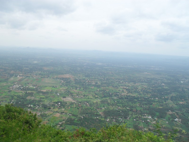
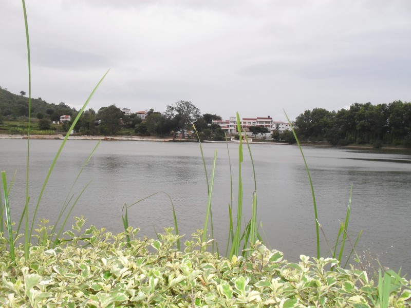
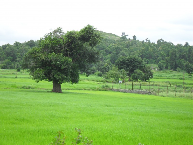
Yelagiri is a hill station / village in Vellore district of Tamil Nadu, India, situated off the Vaniyambadi-Tirupattur road. Located at an altitude of 1,410 metres above Mean Sea Level and spread across 30 km, the Yelagiri village (also spelt Elagiri at times) is surrounded by orchards, rose-gardens, and green valleys.
Nearest City: Vellore
Nearest Town: Athnavur town
Distance from Vellore: 91+ km
Distance from Chennai: 240+ km from Chennai
Distance from Bangalore: 150 km
How to reach Yelgiri Hills :
From Bangalore
Get on to Hosur Road, national highway 7 and head towards Krishnagiri. The 4-lane National Highway is excellent and you should make it in less than 2 hours. At Krishnagiri, there’s a toll-gate manned by the National Highways Authority. Pay your toll and at the second flyover (don’t go over the flyover), take the service road towards the left. This road goes to Chennai. Take the left and for the next hour or so, drive on NH46. You’ll come to another toll-station. Pay and drive for a few minutes till you see Vanni Matriculation Higher Secondary School. Further up you’ll see a sign ‘Elagiri’ (36 km) indicated by a ‘U’ turn arrow and that you need to keep left, take the ‘U’ turn, go under the bridge and on to the road towards Thirupathur. That’s the road you need to get on to. Drive for about 7 kilometers. On the left, you’ll see a big sign board ‘Tamil Nadu Tourism Department Welcomes You’. Turn left at this junction, there’s a sign board pointing towards yelagiri.
From Chennai
Yelagiri is about 258 km from Chennai-Tambaram. Take the Poonamalee High Road out of the city to Ponamalee Town. From Poonamalee, take the Bangalore highway towards Vellore. The distance to Vellore is about 135 km and the route passes through Sriperumbudur, Walajapet and Katpadi. Vellore would be a good place to plan a break, there are a lot of eating places right on the highway. From Vellore continue on to Ambur and then towards Vaniyambadi. On the highway about 45 km from the 3 toll station, watch out for a signboard for “Elagiri – 22 kms”. Take a left at this exit. Its easy to miss this left and if you overshoot this you would reach the Vaniyambadi toll station in about 1km. Continue on this road (SH18) till you reach Ponneri junction which has Thirupathur straight and Yelagiri on the left. Watch out for this one as it is easy to miss. (On the left, you’ll see a big sign board ‘Tamilnadu Tourism Department Welcomes You’. Turn left at this junction, there’s a sign board pointing towards Yelagiri.)
The roads are well punctuated with signboards in English, and the roads especially the Chennai-Vaniyambadi stretch are excellent (in 2007). It is fairly safe, watch out for the occasional truck that changes lanes abruptly. The last petrol pump is after you turn left at Ponneri, a little before you start on the ghat section. There are no petrol pumps on the hills.
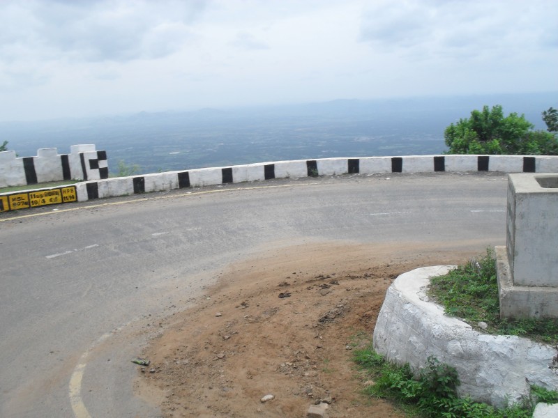
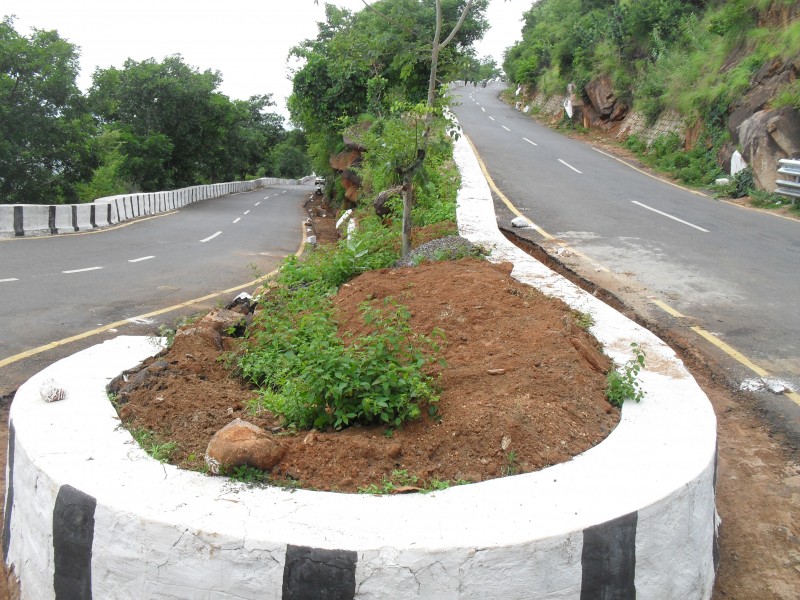
There are 14 hairpin bends on the ghat road from Ponneri to Yelagiri and the road is pretty narrow so you can’t actually park a car to enjoy the view except at some of the wider hairpin bends. Bikes won’t have this problem though.
( From WIKI )
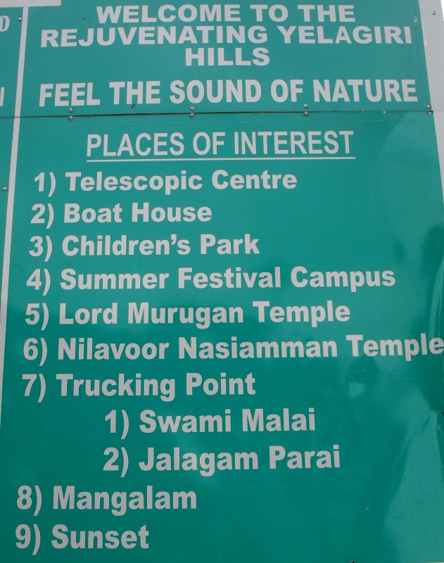
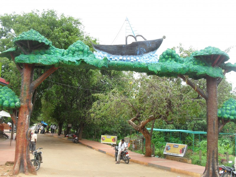
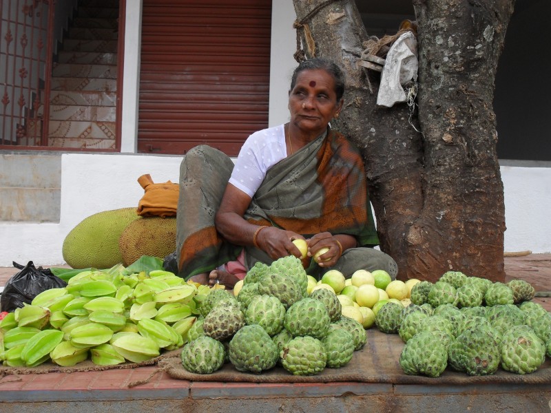
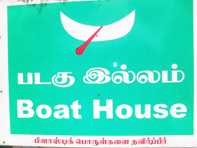
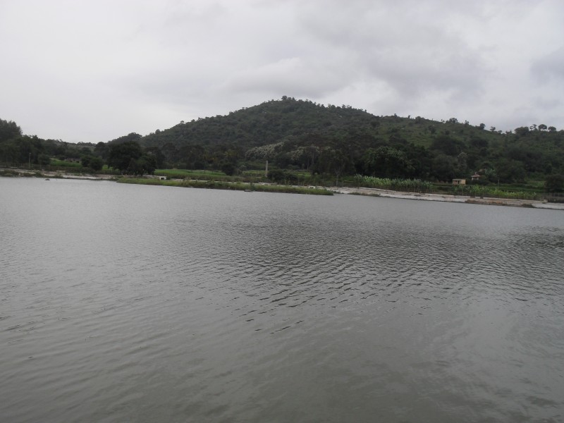
Places of Interest
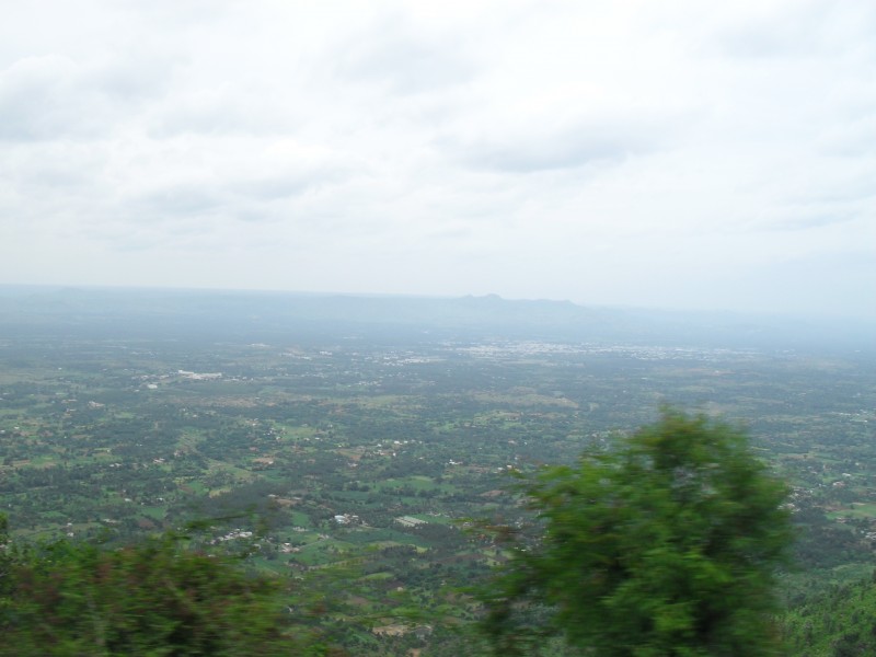
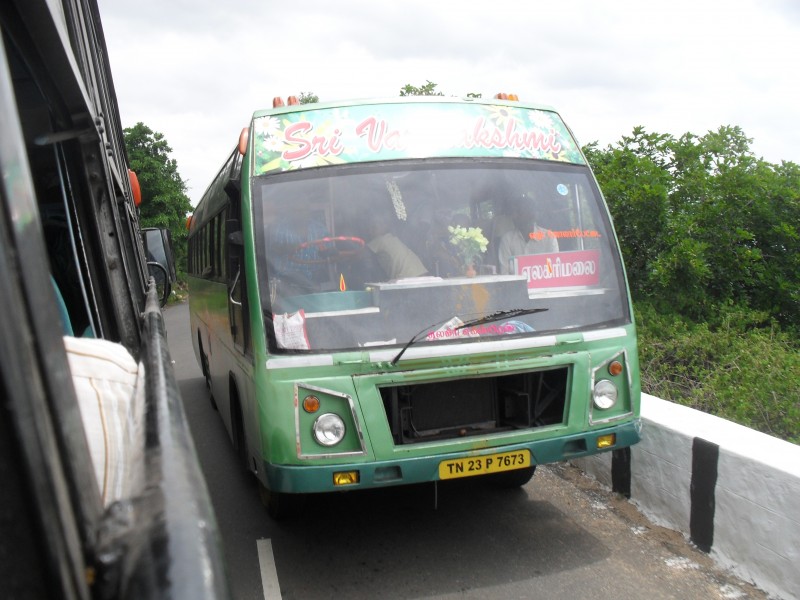
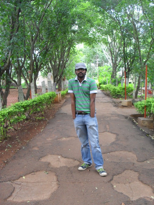
On the way to Yelgiri
Sharp Edges
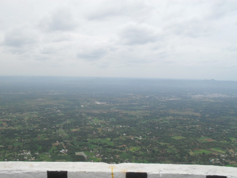
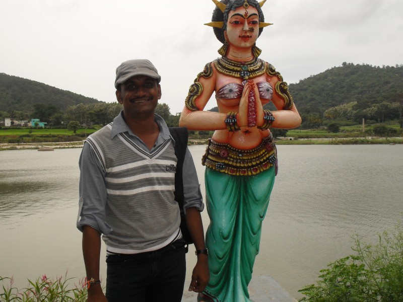
On the top of the hill
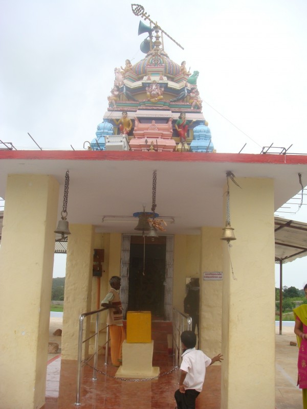
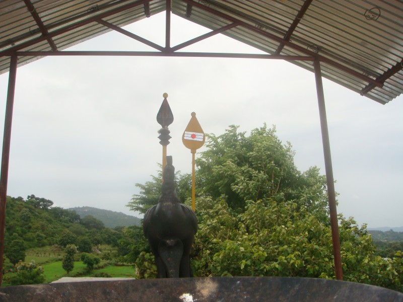
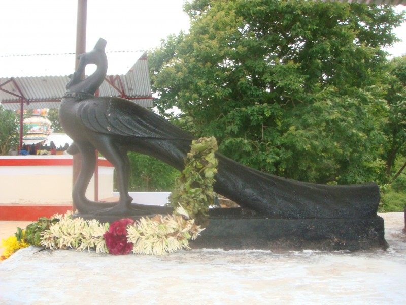
Lord Murugan Temple
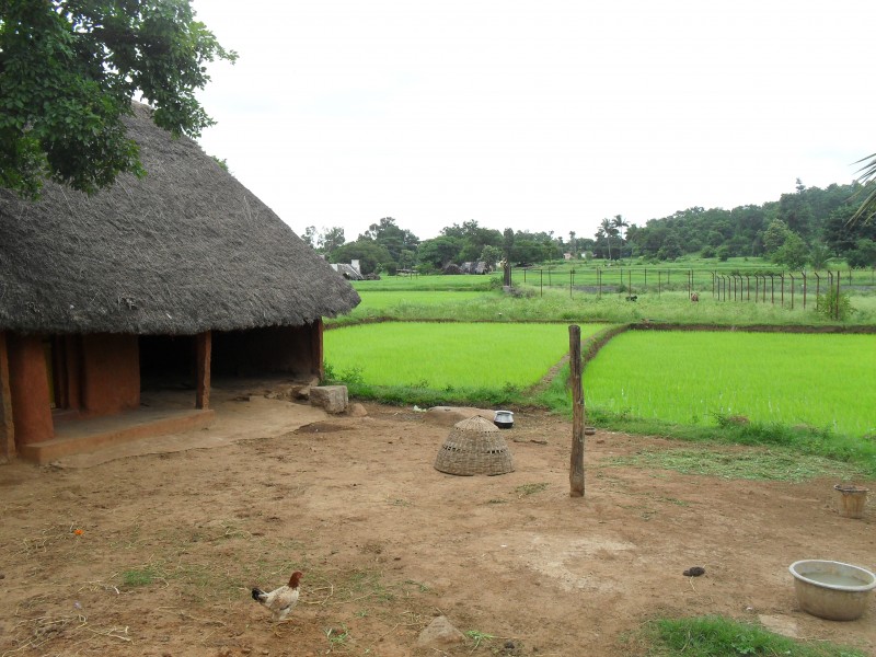
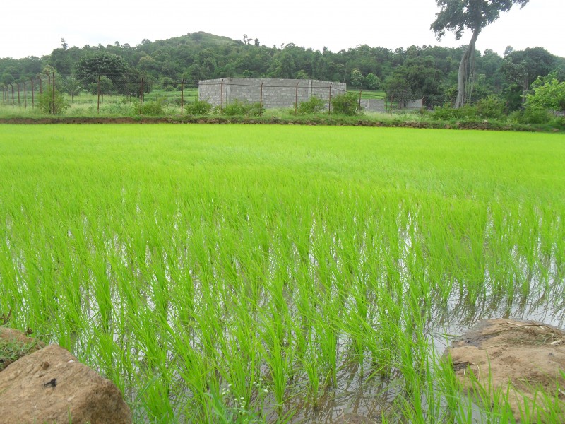
Nilavoor Village
One of the wonderful and peaceful village ever seen. It is 6km from above place. You can hire an auto to that place.They charged us around Rs50.
Nilavoor Nasiamman temple
Though it was not yet properly developed when compared to other hill stations like Nandi Hills, its a wonderful place for weekend getaway.
Go ahead !



July 27, 2010 at 10:37 am
Nice work dude. U are creating publicity to small tourist places instead of already grown tourist places.
That is one good thing about your site
July 27, 2010 at 10:47 am
racha racha unnai photos..
April 4, 2011 at 9:22 am
Yelgiri Hills is a nice place. Thanks for the post.
April 4, 2011 at 9:22 am
Yelgiri Hills is a nice place. Thanks for the post.
April 14, 2011 at 11:37 am
Yelgiri Hills is a tremendous place. Thanks for the great post.
May 26, 2011 at 2:37 pm
thks dude nice work !!!!