Kolleru Bird Sanctuary is one of the best tourist places to visit in Andhra Pradesh. Unfortunately, I had never been there before. One of my friend Pavan who is basically from Elluru, always used to praise this place. I am so impressed with his photos. I will surely gonna visit this place on my next trip to Home.
Some basic stuff about Kolleru :
Kolleru Lake (Telugu: కొల్లేరు సరస్సు) is the largest freshwater lake in India. It is located between Krishna and Godavari delta, Andhra Pradesh, India. Kolleru spans into two districts – Krishna and West Godavari. The lake serves as a natural flood-balancing reservoir for these two rivers. The lake is fed directly by water from the seasonal Budameru and Tammileru streams, and is connected to the Krishna and Godavari systems by over 68 inflowing drains and channels. The lake was an important habitat for an estimated 20 million resident and migratorybirds, including the Grey or Spot-billed Pelican (Pelecanus Philippines). The lake was notified as a wildlife sanctuary in November 1999 under India’s Wildlife Protection Act of 1972, and designated a wetland of international importance in November 2002 under the international Ramsar Convention. The wildlife sanctuary covers an area of 308 km.
How to reach Kolleru Lake
Eluru is the nearest city to the lake.
By Rail : Eluru is one of the important railway station on the Grand Trunk rail line and all the trains will halt at Eluru.
By Road : Eluru is an NHS and is about 55 km away from Vijayawada.
By Airlines : Nearest airport is at Gannavaram. Eluru is 35 km away from Gannvaram Airport. Air deccan and Kingfisher airlines operatesr regular and daily flights from Hyderabad and Chennai.
From Eluru you can visit the sanctuary by car/ jeep and with in the santuary country boats are available on hire.
Best time to visit Kolleru Lake
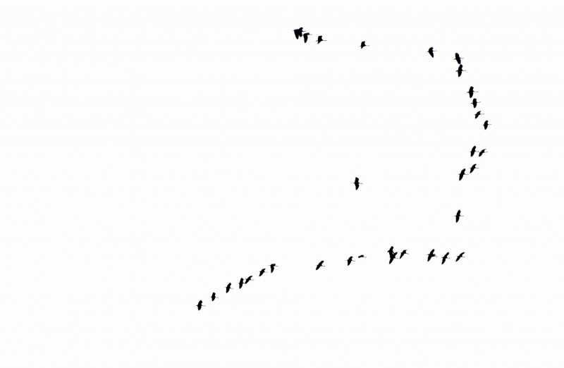
The best season to visit Lake Kolleru is between November to March . During this time the lake is full with water, can be accessed interior places easily. This season attracts thousands of migratory birds to Kolleru Lake .
Current State of the Lake
Nothing is permanent – not even the beauty of Kolleru lake. Thousands of fish tanks were dug up which makes the lake into a mere drain. This had a lot of impact in terms of pollution leading to even difficulty in getting drinking water for the local people.
Satellite images taken on February 9, 2001 by the Indian remote sensing satellite found that approximately 42% of the 245 km² lake was occupied by aquaculture, while agriculture had encroached another 8.5%. The area under aquaculture consisted of 1050 fish ponds within the lake and 38 dried-up fish ponds, which together covered an area of 103 km. The agricultural encroachments were mostly rice paddies. Surprisingly no clear water could be found in the satellite image. The rest of the lake is being diminished by water diversions or was infested with weeds like elephant grass and water hyacinth. ( from Wiki )
History of Kolleru Lake
Ref Wiki page,
Two copper plates of the early Pallava dynasty have been found in the lake, traces its history to Langula Narasimha Deva(Langulya Gajapathi Raju) an Ganga Vanshi Orissa king, (Oddiya/Oriyaraju) . According to legend, the Gajapathi fort was located at Kolleti Kota on one of the eastern islands of the lake. The enemy general “muhammadan” encamped at “Chiguru kota” located on the shores. In some ways, the lake protected the Oriya forces. The enemy finally try to excavated a channel, the modern-day Upputeru, so that the water of the lake would empty into the sea and the level would fall so that they could attack the Gajapathi fort. The royal Oriya army general sacrificed his own daughter to propitiate Gods and ensure his success against Muhammadan and her name was “Perantala Kanama”. Therefore the channel was called Perantala Kanama.Sri Peddinti Ammavari Temple is one of the oldest and famous temples found in kolleru.The Suryavanshi Gajapatis of Orissa, on the height of their power in the 15th century, ruled over a kingdom extending from the Ganges river in the north to the Kaveri in the south under Gajapati Kapilendra Deva. But by the early 16th century, the Gajapatis lost great portions of their southern dominion to Vijayanagar and Golconda.The Gajapatis were a medieval Hindu Suryavamsidynasty of Orissa, parts of Andhra Pradesh and West Bengal. During the glorious reign of Kapilendra deva, the first Suryavamsi Gajapati king,the boundary of the Kalinga empire(Ancient Orissa) was from river Ganges(Hoogly river) in North toKaveri in South and from Amarkantak in West to Bay of Bengal(Kalinga Sagara) in east.
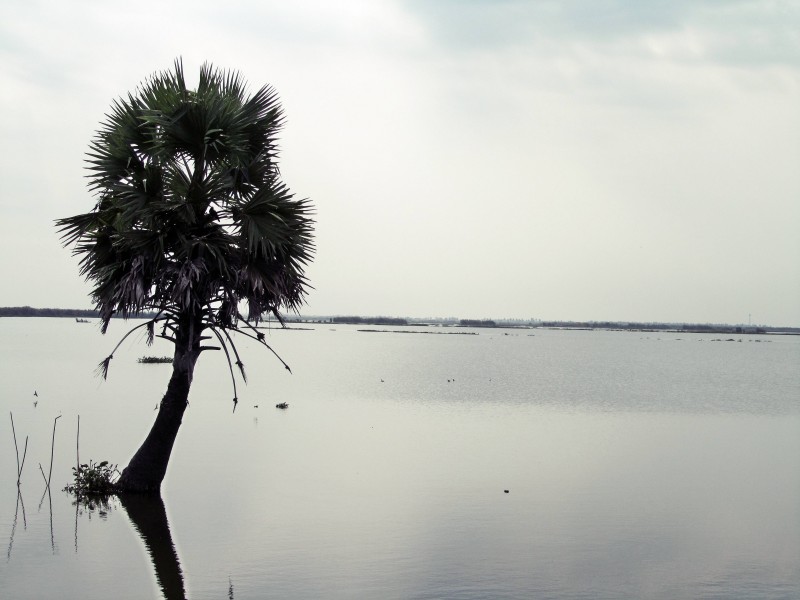
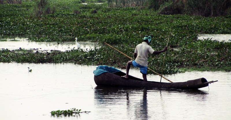
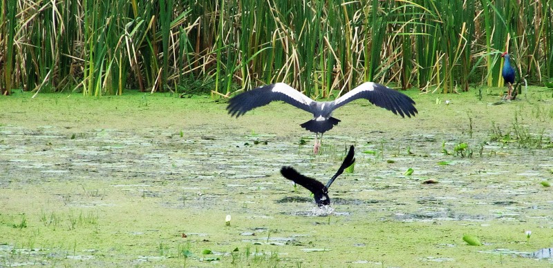
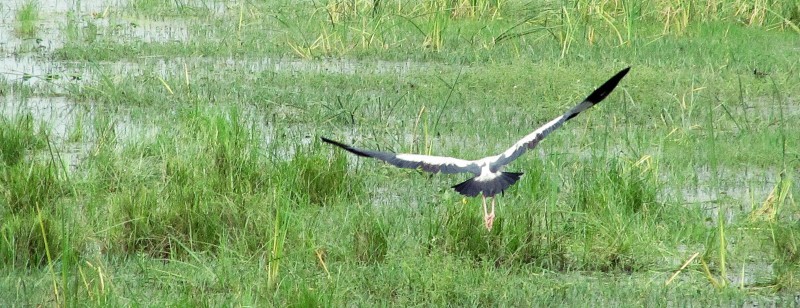
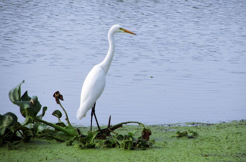
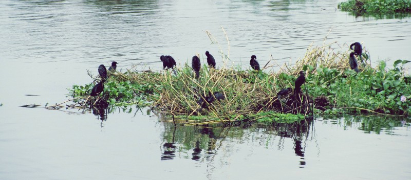
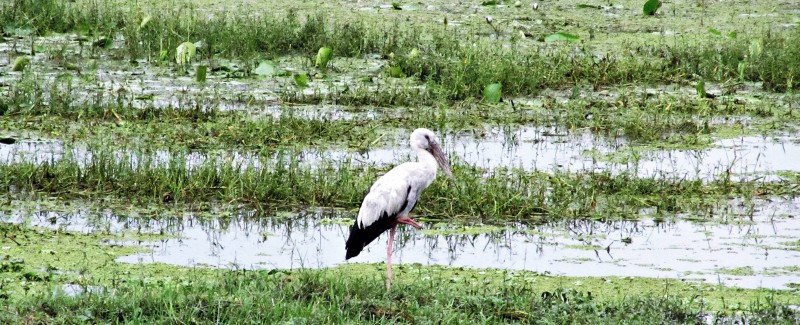
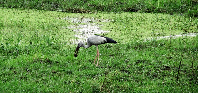
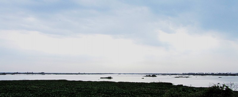
Here are some photos by Pavan
Special thanks to Pavan for contributing these images !




December 15, 2010 at 1:41 am
Really nice post dude
December 15, 2010 at 8:53 am
Thanks Dude
December 15, 2010 at 8:56 am
indeed a very nice post ! Its so near, yet so far. Included in my coverage list now …
February 22, 2012 at 2:45 pm
It is a Birds’ Paradise. And it’s man’s bird’s eye view of that Paradise.